Iowa Weekend Weather Outlook
As we head into the final weekend of June, eyes are on the sky as a series of storm chances take shape across the region. Here’s what you can expect in Iowa Friday night through Sunday — including the day with the highest severe weather potential.

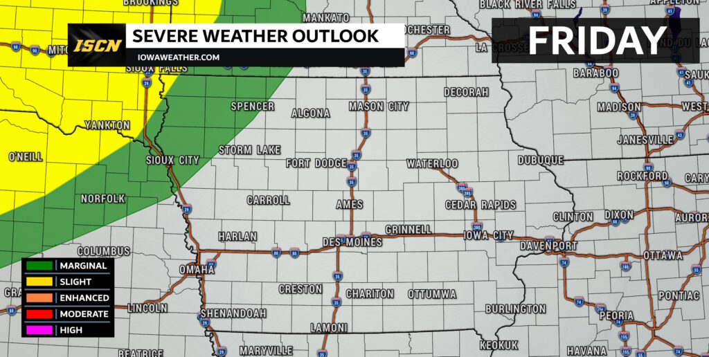
Friday Night: Storms Approaching from the West
Storms are expected to fire up Friday evening across western Nebraska and South Dakota as a weak disturbance moves through. Some of this activity may drift into western and northern Iowa later tonight, although the storms are likely to weaken as they move east.
While severe weather is not expected, a few gusty winds could accompany the storms. Most models suggest the activity will fade out by sunrise on Saturday, leaving behind a dry and breezy start to the weekend.

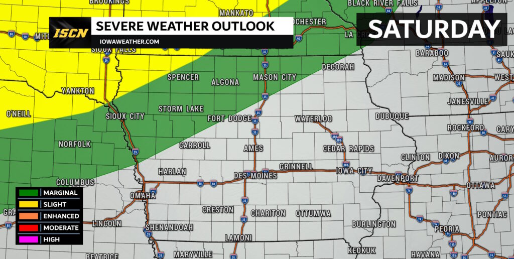
Saturday: Breezy and Warm with an Eye to the North
Saturday will feel like summer with highs near 90°F and southerly winds gusting 15–25 mph. While the day looks dry for most, we’ll be watching the skies closely after sunset.
Storms are expected to develop near the Minnesota border Saturday evening along a weak front. While instability will be present, better wind shear (needed for stronger storms) will remain closer to the Minnesota/Wisconsin area. That means the strongest storms should stay north of Iowa, but a few may sneak into northern parts of the state late Saturday night or early Sunday morning.

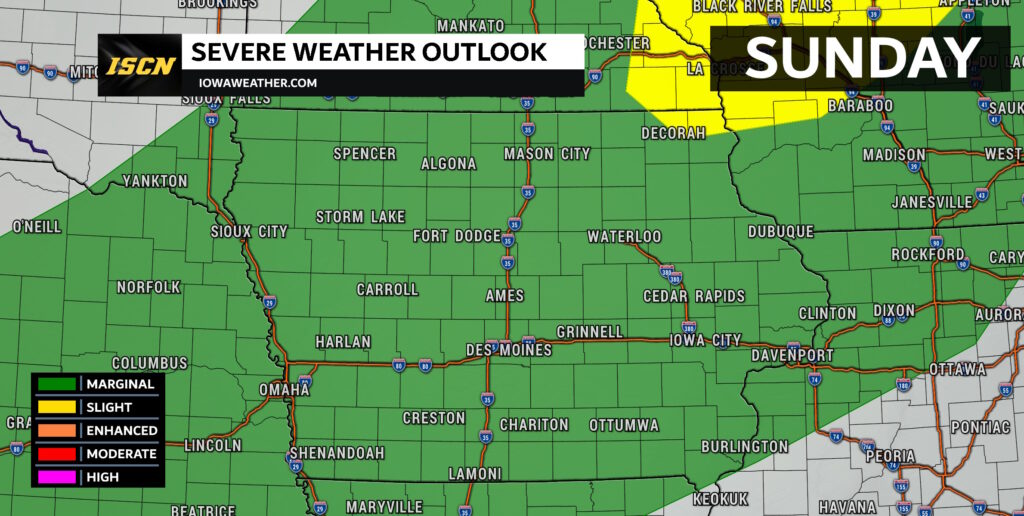
Sunday: Highest Storm Potential of the Weekend
Sunday brings the highest chance for storms across the entire state of Iowa. A cold front is expected to move through during the afternoon and evening, and with very warm temperatures and strong instability, scattered storms are likely to form.
While wind shear will be on the weaker side, the setup could still support strong to severe storms — particularly those capable of gusty winds and hail. The greatest risk appears to be in central and eastern Iowa, where temperatures will climb and the front may remain uncapped long enough for storms to fire.
If you have outdoor plans Sunday afternoon or evening, it’s a good idea to stay weather-aware and check for updates as conditions develop.
Summary
- Friday Night: Weakening storms may move into western/northern Iowa. Gusty winds possible, but not severe.
- Saturday: Breezy and hot. Most storms stay north, but a few may reach northern Iowa overnight.
- Sunday: Highest storm risk statewide. Scattered storms in the afternoon/evening. Gusty winds and hail possible.