The Best Weather App – And It’s Free!
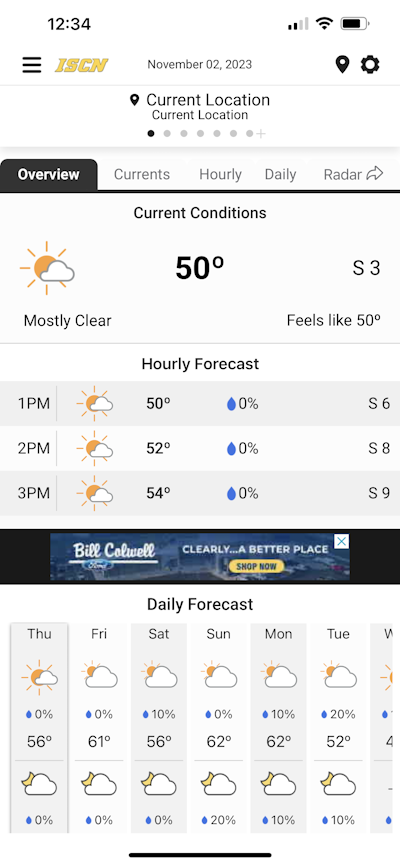
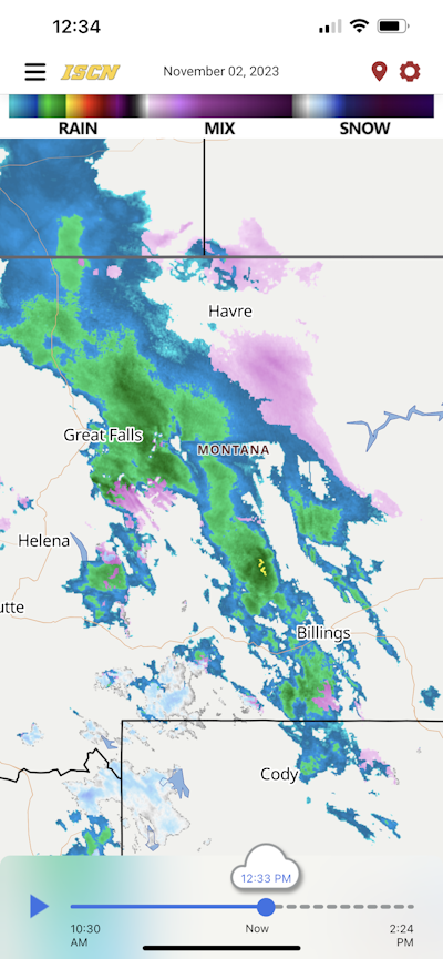
The ISCN Weather app is a daily weather resource for your smartphone or tablet, providing forecasts and current conditions like weather radar, satellite imagery, temperature, and surface winds on a fast and fluid map. Built-in safety net weather alerts provide fully automated weather alerts right on your phone, simple to use and more specific than weather sirens, with a lead time of up to 15 minutes before the storm hits. You can set up to eight places to be monitored for severe weather, including your smartphone’s current location, so you always know what’s coming.
Your Local Weather App Features:
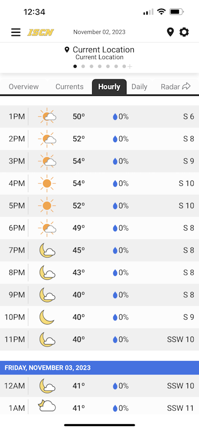
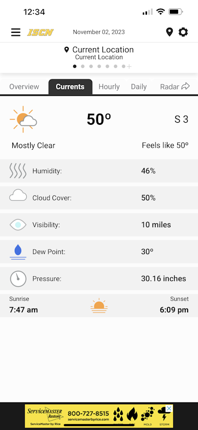
- Current weather conditions transitioning to a 24-hour forecast
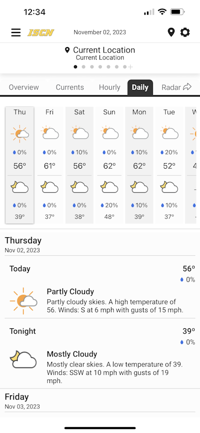
- 7-day weather forecast and long-range outlooks
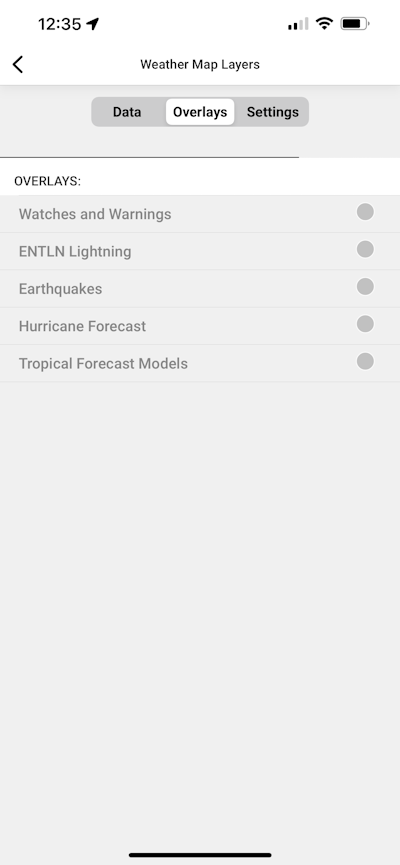
- Life-saving watches & warnings
- Interactive maps
- Advanced weather radar with weather type depiction with the following options
- Hi-Res weather radar
- 1 hour future radar
- 24-hour future radar
- Temperatures
- Winds
- Visible Satellite
- Inferred Satellite
- Forecast Rainfall Amounts
- Forecast Snowfall Amounts
- Lightning in the area alerts
- Storm Prediction Center Outlooks
- Personalized push notifications to your specific location
- Link to the weather blog
- Link to the live stream
- Photo upload
- Dark Mode
More about the app:
The biggest advantage to the ISCN Weather app compared to all other weather apps is it gives you an advanced warning before the National Weather Service issues an alert. Receive notification about a storm developing a tornado, or storms entering the area up to 25 miles away, or lightning detected within a 15-mile radius of your location. All of these things give you more time to prepare. Find it free on the Android and iOS app store.
Weather Alerts Sent From the App
Dangerous storm notifications
An example notification message will look like this: SAF-T-Net Weather Alert: Dangerous storm approaching your (location), followed by the storm’s BTI rating. When you receive a “dangerous storm” message from the ISCN Weather App, it means that a storm capable of the following characteristics will be arriving at your registered location(s) within 15 minutes:
- Hail
- High, damaging winds
- Flooding rains
Twisting storm notifications
A notification for this type of message will look like this: SAF-T-Net Weather Alert: Twisting storm approaching your (location), followed by the storm’s BTI rating. When you receive a SAF-T-Net message indicating a dangerous twisting storm is approaching your location(s), it means that a storm containing wind shear, a prime indicator of tornadoes, will be arriving at your registered location(s) within 15 minutes.
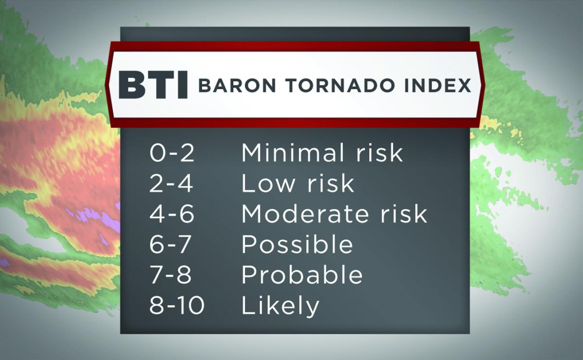
The Baron Tornado Index®BTI provides a simplified 0-10 ranking on the likelihood of a tornado within the storm. It uses patented and proprietary algorithms integrating live radar data with the highest-resolution mesoscale models available. The Baron Tornado Index has proven to be highly effective at detecting storms likely to spawn tornadoes with lead times of up to 15-30 minutes, thus giving you more time to prepare.
