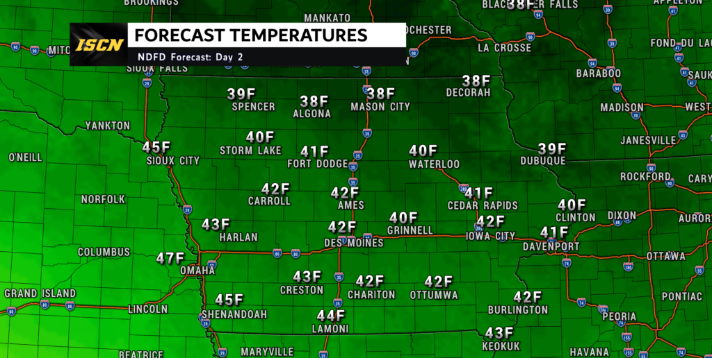
The weather forecast for Iowa this week will be all over in terms of temperatures. To start the week, high temperatures on Monday will be some of the coldest so far this fall. Max temperatures on Monday will range from the upper 40s across southern Iowa to the upper 30s across northern Iowa. On Tuesday, temperatures will be very similar to Monday, with highs once again in the 40s statewide.

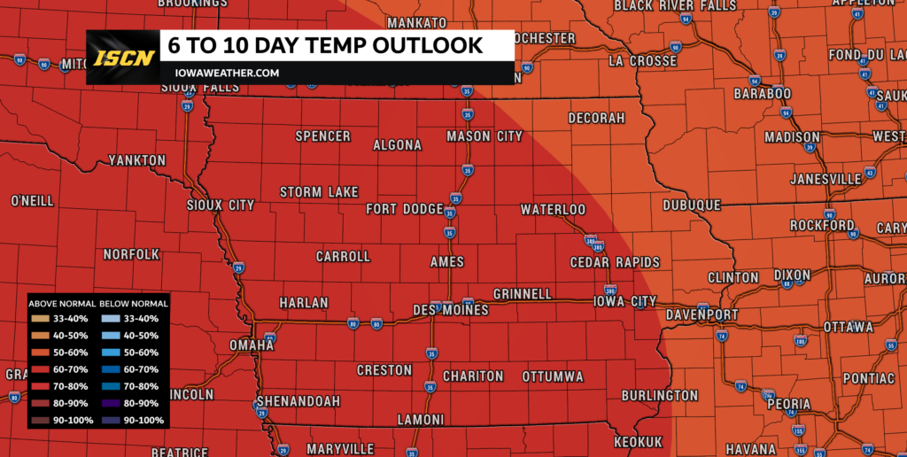
By Wednesday, temperatures will begin to warm as we head into the last half of the week. The warming will continue as we head into the weekend. This is why the latest 6 to 10 day temperature outlook by the Climate Prediction Center has temperatures above average for this timeframe. High temperatures on Wednesday will be in the upper 40s across northeast Iowa to the upper 50s across southwest Iowa. Temperatures will continue to warm into the mid 50s to mid 60s across the state on Thursday.
By Friday, the warm temperatures really make a comeback, just in time for the weekend. High temperatures on Friday will range from the mid 60s across northeast Iowa to the low 70s across central and southwest Iowa. On Saturday, temperatures will range from the upper 60s across northeast Iowa to the mid to upper 70s across western Iowa.

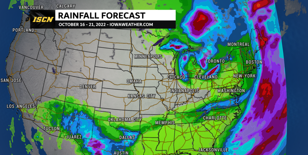
As for precipitation, unfortunately, there will be no chances for precipitation. Looking at the next several days, the only rain chances will be across the southern and eastern portions of the United States. This will continue to add to the drought conditions that continue to worse across the Midwest.
Check out your local weather forecast by visiting our weather forecast page. Be sure to follow us on Facebook and on Twitter for the latest weather updates.