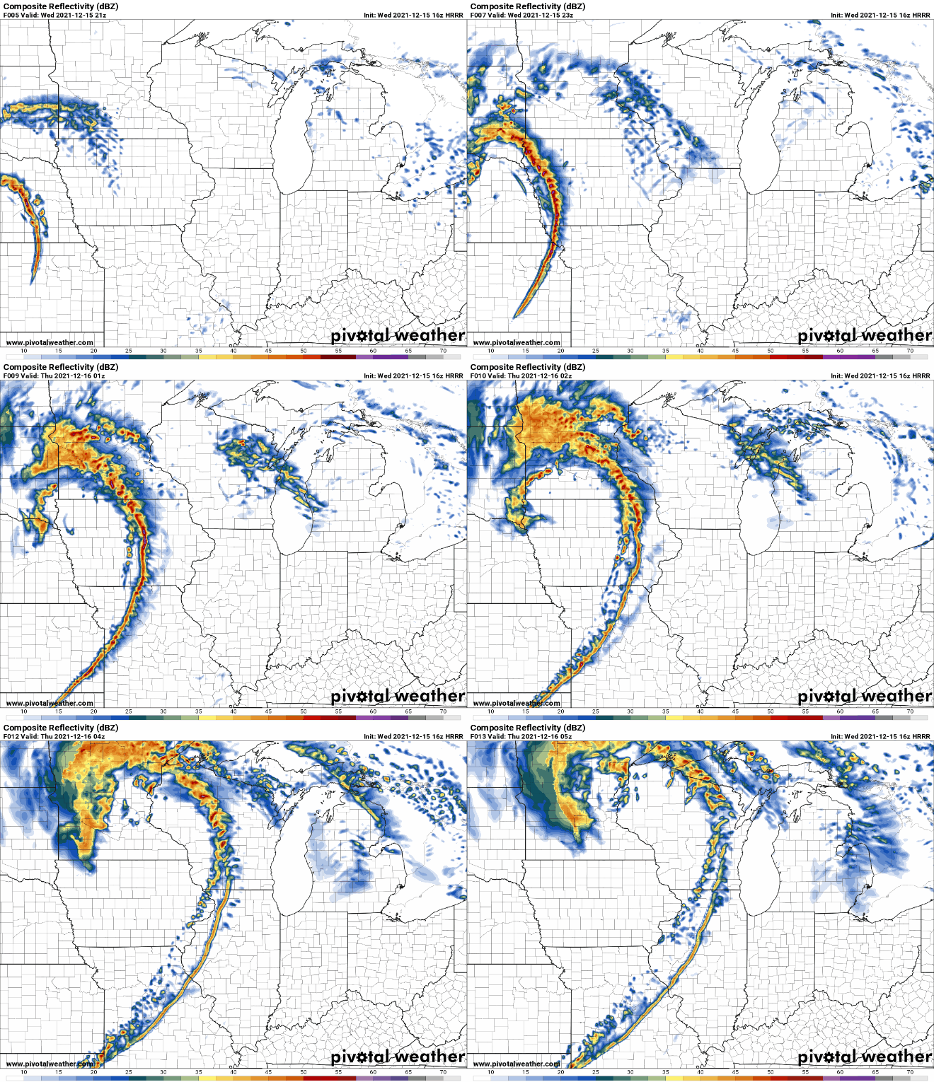
Rare December Moderate Severe Weather Risk Issued for Iowa
A rapidly evolving outbreak of severe storms with widespread damaging winds and a few tornadoes is expected to begin by mid-afternoon across eastern Nebraska and continue northeastward into the upper Mississippi Valley by early Wednesday evening.
A line of severe thunderstorms is expected to move rapidly west to east across central Iowa between 4 pm and 8 pm at speeds of 60 to 70 mph. The primary severe weather threats will be damaging winds and a few tornadoes, a few of which could be strong.
A high wind warning will be in effect Wednesday afternoon as non-thunderstorm winds will already be gusting from 60 to 70 mph. The winds associated with the thunderstorms Wednesday afternoon could reach 75 to 100 mph. Conditions could change very rapidly today with little reaction time as storms approach. Monitor weather conditions closely with safe shelter available and nearby.

Be sure to have the ISCN Weather app installed to receive the latest watches and warnings sent directly to your mobile device.