Iowa Severe Weather Risk Increases Wednesday Afternoon
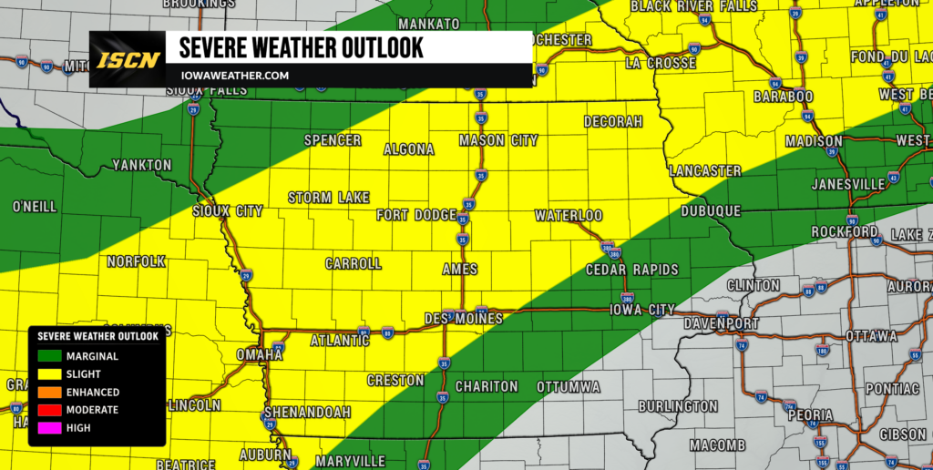
A hot and humid summer day across Iowa will set the stage for thunderstorms this afternoon and evening, with portions of the state under a Slight Risk (Level 2 of 5) for severe weather.
The primary concern with today’s storms will be damaging straight-line wind gusts, although heavy rainfall, isolated hail, and a very low tornado threat will also accompany stronger thunderstorms.
Storm Timing
Thunderstorms are expected to develop this afternoon as a cold front moves south across Iowa. The greatest threat for severe weather is expected between 3 PM and 10 PM, with storms moving toward the east-northeast around 25 mph.
Storms are expected to first develop across northern and western Iowa before gradually expanding into central Iowa during the afternoon and evening. Activity will continue to push southward overnight.
Main Severe Weather Threats
The atmosphere will become increasingly unstable this afternoon with temperatures climbing into the upper 80s and lower 90s while dew points remain in the upper 60s and lower 70s.
The primary hazards include:
- Damaging wind gusts up to 70 mph
- Heavy rainfall capable of producing localized flash flooding
- Isolated hail up to 1 inch in diameter
- A brief tornado cannot be ruled out, but the overall tornado threat remains low
Forecast soundings continue to favor storms organizing into clusters or lines, making damaging straight-line winds the greatest concern across much of Iowa.
Heavy Rainfall Could Cause Localized Flooding
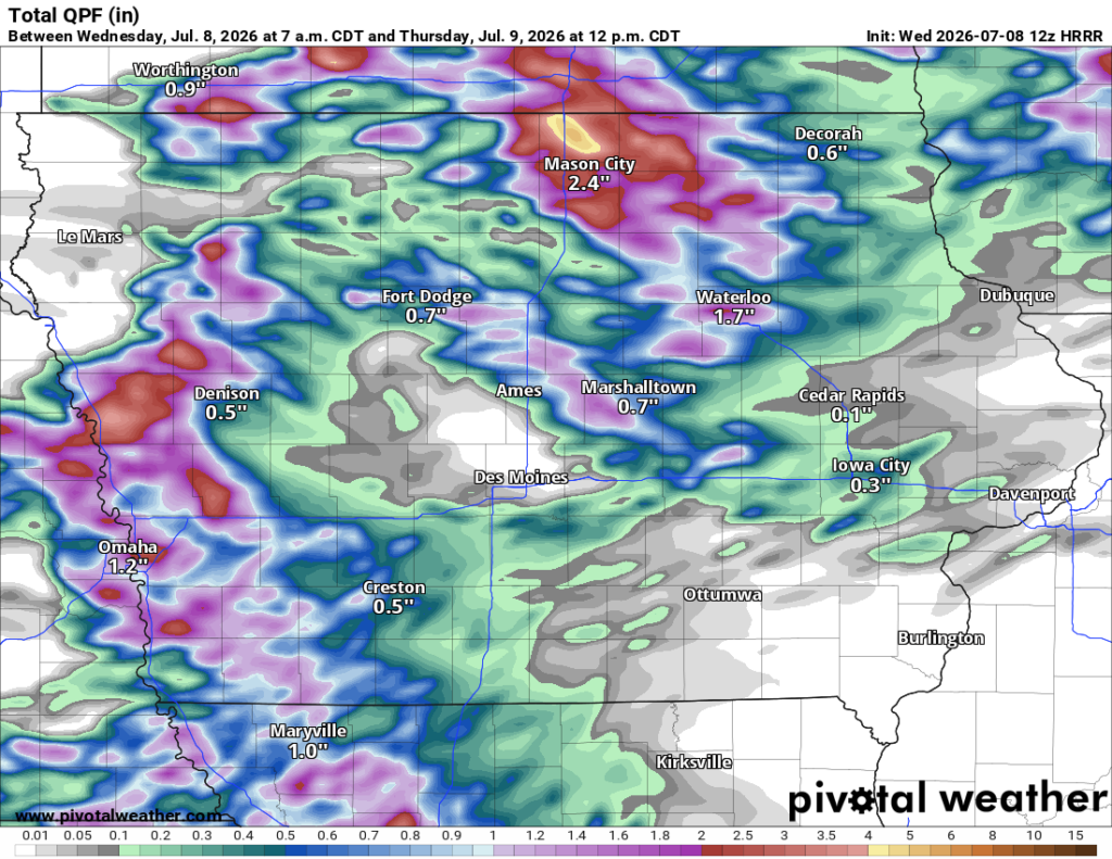
In addition to the severe weather threat, thunderstorms will be capable of producing very heavy rainfall. Atmospheric moisture levels remain unusually high, allowing storms to efficiently produce rain.
Many locations may receive 1 to 2 inches of rainfall, while isolated areas could see over 3 inches where storms repeatedly move across the same location.
Localized flash flooding will be possible, especially in areas that received several inches of rain late last week. River and creek rises may also occur if heavier rainfall develops.
Areas With the Greatest Risk
The highest potential for severe weather today extends across central, northern, and western Iowa, where the Storm Prediction Center has outlined a Slight Risk for severe thunderstorms.
Farther east into eastern Iowa, storms may weaken somewhat as they arrive later this evening, although damaging wind gusts and heavy rainfall will remain possible.
Stay Weather Aware
If you have outdoor plans this afternoon or evening, be sure to monitor the latest forecasts and have multiple ways to receive weather warnings.
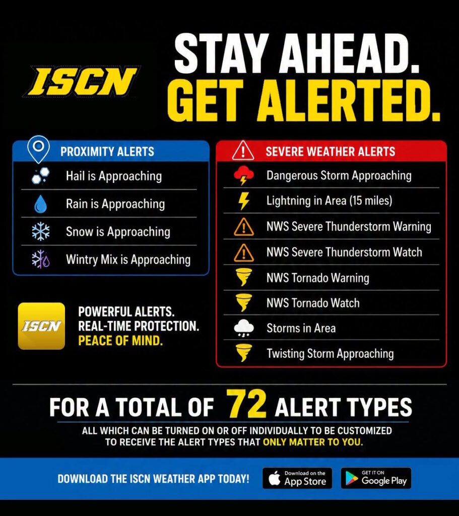
The ISCN Weather Team will be tracking conditions throughout the day and providing updates as storms develop. Download the ISCN Weather App for live radar, watches and warnings, and the latest forecast updates wherever you are.
We’ll continue to monitor forecast trends and provide updates as confidence increases in storm timing and areas of greatest impact.