Tornado Watch vs. Tornado Warning: What’s the Difference?

When severe weather threatens Iowa and the Midwest, every minute counts. Knowing the difference between a watch and a warning can save lives. The National Weather Service (NWS) issues these alerts to help you prepare and take action—but many people confuse the two. In this article, we’ll break down the difference between tornado and severe thunderstorm watches and warnings, and explain what each means for you and your family.
Tornado Alerts

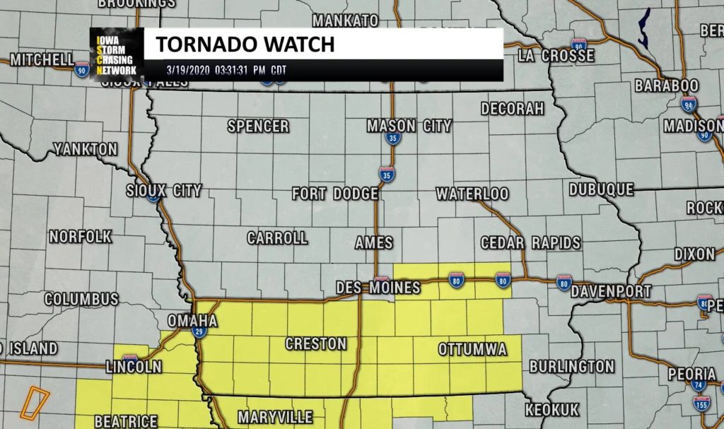
Tornado Watch
- Definition: Conditions are favorable for tornadoes to develop.
- Issued by: The NWS Storm Prediction Center.
- What to do: Stay alert and review your safety plan. It doesn’t mean a tornado is happening, but the environment is primed for one.
💡 Think of it like ingredients for a recipe being on the counter—the setup is there, but the tornado hasn’t been “cooked up” yet.
Tornado Warning
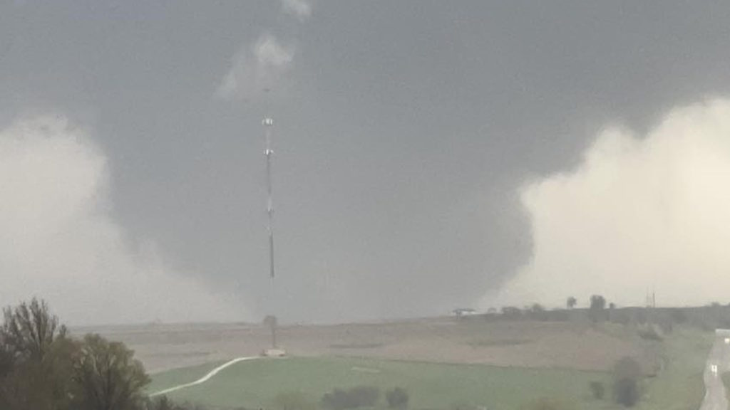
- Definition: A tornado has been spotted by trained spotters or detected on radar.
- Issued by: Your local NWS office.
- What to do: Take shelter immediately in a basement, storm shelter, or small interior room on the lowest floor. Stay away from windows. If outdoors or in a vehicle, move to a sturdy shelter right away.
⚠️ A Tornado Warning is urgent—this means a tornado is happening or imminent.
Severe Thunderstorm Alerts

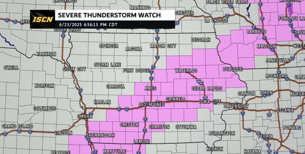
Severe Thunderstorm Watch
- Definition: Conditions are favorable for severe thunderstorms that could bring damaging winds (58+ mph), large hail (1 inch or larger), or isolated tornadoes.
- Issued by: The NWS Storm Prediction Center.
- What to do: Monitor the weather closely and be ready to take shelter if storms intensify.
Severe Thunderstorm Warning
- Definition: A severe thunderstorm is happening or about to happen, confirmed by radar or spotters.
- What to do: Move indoors immediately. Severe storms can knock out power, damage homes, and create dangerous lightning. Treat these warnings seriously, even if a tornado isn’t involved.
Quick Comparison: Watch vs. Warning
- Watch = Be Ready → Conditions are favorable.
- Warning = Take Action → Severe weather is happening or imminent.
Why This Matters
Understanding severe weather alerts isn’t just about avoiding confusion—it’s about protecting your family, your home, and your community. In Iowa, storms can develop quickly, and knowing when to prepare versus when to act can make all the difference.
Final Safety Tips
When severe weather threatens, preparation and quick action are key. Always have more than one reliable way to receive alerts, such as a NOAA Weather Radio, local news, smartphone apps, or Wireless Emergency Alerts. Before storm season begins, take time to review your family’s severe weather plan so everyone knows where to go and what to do when warnings are issued. And most importantly, never ignore a warning—when the National Weather Service issues one, move to shelter immediately.
For the ultimate protection, many Iowa families choose to install a storm shelter to ensure they have a safe, secure place when tornadoes strike. At Storm Shelters of Iowa, they provide above-ground and underground shelters designed to withstand the strongest storms, giving you peace of mind when it matters most. A few minutes of preparation and the right shelter can make all the difference in protecting your home and your loved ones.