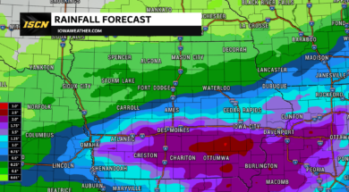
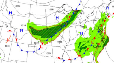
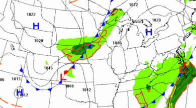
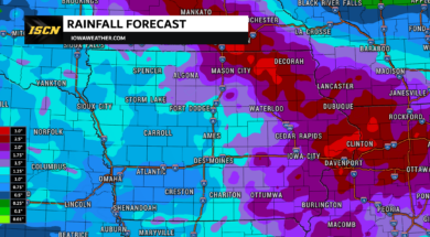
Dry and warm weather continues across Iowa today before thunderstorms return Tuesday into Wednesday with locally heavy rainfall and isolated flooding possible.
An Extreme Heat Watch has been issued for much of Iowa with heat index values of 105 to 110+ expected Sunday through Monday. Get the latest forecast and safety tips.
Learn what a Ring of Fire weather pattern is, why it brings repeated thunderstorms and dangerous heat to Iowa, and how to stay safe during these events.